|
|
| | HOME | RESTORATION | BUFFALO 461 | CANADIAN CC-115s | DEDICATION | REUNION |
|
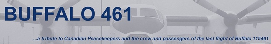
BUFFALO 461 - Last Flight Crew and Passengers Maps 116 ATU - Introduction
UN Peacekeeping UNEF ME |
BUFFALO 461 - MapsFollowing maps were developed with Google Earth. They show key locations in the Buffalo 461 saga. We are currently working on a proper route map and hope to post it shortly. These maps are a bit of an experiment - we welcome any comments, suggestions, or corrections. You can use Google Earth or Google maps to explore these locations in more detail. Click on images for full size maps. This first map shows the approximate route (we need to do some additional work to plot the actual route, e.g., actual beacon locations). Take-off from Ismailia, overfly Port Said, BAYSUR near Beirut international, and then across the border (DAKWEH) to where it crashed near, what was then called, Ad Dimas. The line terminates at Damascus International, the intended destination. Click on the image below to see a larger version. Use your Backspace key to return to this page.
This second map shows the Lebanon to Damascus area in more detail.
This third picture higlights the crash site of Buffalo 461 and an abandoned SA-2 site. The Buffalo 461 icon is located at the latitude and longitude of the crash site specified in the accident report. Debris was actually scattered over a wide area. The SA-2 icon in the lower left corner is identified on Google Earth as an abandoned SA-2 site. It matches the location and description of a site where one witness believed the missiles that shot down Buffalo 461 originated.
This fourth map shows the crash site in more detail. We are working on matching it more closely with debis field information from the accident report (i.e., to show the extent of debris field etc.).
This last map shows the abandoned SA-2 site in more detail. The accident report concludes an SA-3 took down Buffalo 461, but SA-2 and SA-6 missiles are also mentioned in the report. The abandoned SA-2 label must be considered with caution (i.e., what existed in 1974 at the site?). Other SAM sites are also within range of the Buffalo 461 wreckage. Note the runway north at the upper end of the picture.
|
| Click here to Email |


